Earlier this month we met with Mouhamad Abdel Sater (Directorate of General Antiquities, Lebanon) and Dr Sayantani Neogi (Endangered Archaeology in the Middle East and North Africa project (EAMENA)), to learn about their involvement with the Nahrein Network.
The Nahrein Network, based at University College London, aims to enhance the capacity of Iraqi, Lebanese, Iranian, and Turkish scholars and those working in the sustainable development of cultural heritage. The network supports interdisciplinary research to enable universities, museums, and community groups to better serve local, post-conflict needs. CBRL has been part of the Nahrein Network since 2019 in support of scholars and cultural heritage practitioners based in Lebanon.
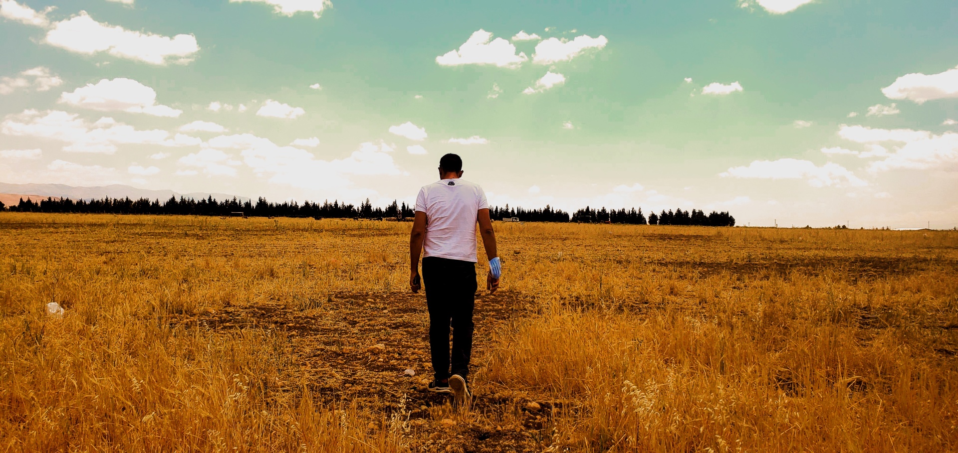
Mouhamad works at the Directorate General of Antiquities (DGA) in Lebanon. As a Visiting Nahrein Scholar, Mouhamad was hosted by Durham University in collaboration with the EAMENA project (EAMENA project is a collaboration between the universities of Durham, Oxford and Leicester). Mouhamad had previously taken part in EAMENA project’s training programme in collaboration with the DGA of Lebanon. During this visit he received training in geographical information system (GIS) methodologies. Mouhamad’s research is closely related to the work of the EAMENA project; both use satellite imagery to record and make available information about archaeological sites and landscape under threat. Skills and training acquired during the Visiting Scholarship were intended to benefit the project Site Preservation and Loss at the Bekaa Valley, Lebanon.
Read on to learn more about this project in a Q&A with Mouhamad and Sayantani.
CBRL: First of all, tell us about the aims of your project.
SN: Site preservation and loss at the Bekaa Valley aims to understand the local settlement pattern of the area to answer questions about use of sites, population fluctuations, abandonment of settlements, and their preservation. At present, we do not have enough data to answer these questions, especially when we focus on specific historical periods rather than the history of the valley in its entirety. For this reason, the first step of the project, carried out with the support of the Nahrein Network and CBRL, has been the creation of a comprehensive dataset providing the basis for researching the development of the region during its whole history as well as specific periods.
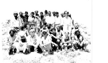
The starting point of the dataset has been the survey that Leon Marfoe carried out in the 1970s which recorded more than 500 archaeological sites (Marfoe 1978, 1979, 1995, 1998). This data, referring to a very different Bekaa Valley from the one we see today, has been complemented by the survey that Mouhamad has carried out visiting some of the sites and analysing Corona satellite images and by the legacy data at Durham University. Once the dataset is complete, it will provide a comprehensive set of information about the Bekaa Valley, from the Neolithic period to the Islamic era.
CBRL: Why is it important to study the Bekaa Valley?
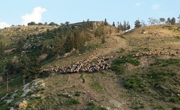
MAS/SN: The Bekaa Valley is a fertile valley located in eastern Lebanon. Today it is Lebanon’s most important farming region but the history of settlements in the valley can be traced back to the Neolithic period. The Bekaa Valley has since been continuously occupied due to the wealth of natural resources, fertile soils and strategic location; not only does its position between two mountains made it a natural defensive outpost, but, throughout its history, Bekaa has been a connection between Palestine and Syria and an important stop along the Silk Road, bridging the East and the West. Thanks to its long history of occupation, the Bekaa valley is a perfect place from where to explore the development of settlements in the region.
CBRL: Your project refers to site preservation and loss – can you tell us more about this?
SN: The starting point of the project is the survey conducted by Marfoe in the 1970s. Back then, many of the archaeological sites in the Bekaa Valley were much more visible and in better condition than they are today. Urbanisation and agriculture have been obliterating the traces of many sites and are the main causes of site loss, not only in Lebanon, but around the world. In the context of this project, site loss is intended as partial or total destruction of an archaeological site. Being able to compare modern data with the information gathered from Marfoe’s work and the satellite images collected during the Cold War allows us to evaluate the current conditions of a site, the speed of its destruction, and the factors causing the loss. From this we can devise and suggest policies and interventions that will safeguard what remains of the sites today.
CBRL: You mention policies to safeguard archaeological sites. Do policies currently exist in the Bekaa Valley region of Lebanon to protect archaeological sites from destruction?
SN: There are some policies already in place to preserve sites but of course they have their limitations. The advantage of involving local people and researchers in the project is that they are aware of what policies are currently in place and can thus help navigate them. The team on the EAMENA project has started drafting some policies in conversation with local governments and authorities; the work done for the Site preservation and loss at the Bekaa Valley project will fit into this bigger picture by providing core data and analysis on a crucial area in the region upon which the new proposed policies can be based. Of course, the policies proposed will need to work for the whole state, not only for the Bekaa Valley, but this being such an important historical area, so rich in archaeological sites and with such a long history of settlements, it provides a perfect case study and starting point for policymakers.
CBRL: Speaking about local communities, could you tell us about the plans to engage the local people with the project?
MAS/SN: Provided we receive funding to continue our work in the region, we have already identified various areas where engagement with the local communities is possible. We would first like to have more people from the DGA working on the project. Second, we are devising a programme of outreach activities aimed at raising awareness about the local cultural heritage and the dangers threatening it. One of the aims of the programme is to organise a touring exhibition about the Bekaa valley, its history and archaeological sites. The EAMENA project has already successfully organised a similar exhibition with funding from the British Council’s Cultural Protection Fund (CPF): the exhibition can now be seen online at this link. In addition to the exhibition, we are working on the development of a set of activities for students as knowledge of the landscape and cultural heritage should be built from a young age. Finally, we have already seen some positive outcomes in tourism development as more locals are developing tourist offerings, especially in areas where archaeological sites have been promoted and are open to the public.
CBRL: Looking forward, how do you see the project developing?
MAS/SN: We hope that, with the end of the restrictions to travel imposed by the global pandemic, it will be possible to carry out physical surveys of many of the sites mentioned by Marfoe.
We are now approaching the end of the first phase of the project which included: data collection; updating of the information available so far; and digitisation of the material collected through traditional survey methodologies and stored in Durham.
The next phase, which we hope we will be able to start soon, is the analysis of the mass of data that has been collated into a database. Mouhamad will make full use of the training received from the EAMENA and Nahrein Network to feed the information to GIS and produce thematic maps and statistical analysis that will help policymakers draft new policies for the preservation of the Bekaa valley cultural heritage.
CBRL: A last question to Mouhamad: How did COVID impact your work and your experience with the Nahrein Network?
MAS: Under normal circumstances, I would have taken up an in-person scholarship. However, due to COVID, this was not possible and almost all the activities, including the GIS training I received, have been carried out remotely. It has been difficult to work online as you greatly miss the benefits of the in-person interaction with colleagues. In particular, the hardest part was the online training not only for the limitations in the interactions but especially because of the problems to the internet and electrical infrastructure in Lebanon which caused additional struggles. I was however able to conduct limited part of the planned survey in person, which was extremely interesting and helped to understand better the data I was working with. I look forward to the time when it will be possible to freely travel again and finally meet the colleagues I have been working with from far away.
Acknowledgements
Mouhamad Abdel Sater and Dr Sayantani Neogi would like to thank the Nahrein Network on behalf of the EAMENA project team and the Department of Archaeology at Durham University for giving the opportunity to Mouhamad to work on this project. Thanks too to CBRL for facilitating Mouhamad’s Visiting Scholarship.
References
Marfoe, L., Between Qadesh and Kumidi – a history of border settlement and land use in BIQAꜤ, Lebanon. PhD dissertation, University of Chicago, 1978
Marfoe, L., The integrative transformation: Patterns of sociopolitical organisation in southern Syria. BASOR 234, 1979, 1-425
Marfoe, L., Kāmid el-Lōz 13. The Prehistoric and Early Historic Context of the Site: Catalog and Commentary. SBZA Band 41. Bonn: Rudolf Habelt, 1995
Marfoe L., Kāmid el-Lōz 14. Settlement History of the Biqāʻ up to the Iron Age. SBZA Band 53. Bonn: Rudolf Habelt, 1998

The views expressed by our authors on the CBRL blog are not necessarily endorsed by CBRL, but are commended as contributing to public debate.


