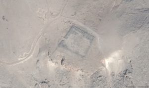
We are thrilled to report on a breakthrough for archaeologists and scholars working in the Levant. Thanks to a hard-fought campaign by the late CBRL Assistant Director in Amman, Dr Andrea Zerbini, with his colleague from the EAMENA project, Dr Michael Fradley, US restrictions on access to high-resolution satellite imagery over Israel and the Occupied Palestinian Territories have now been lifted.
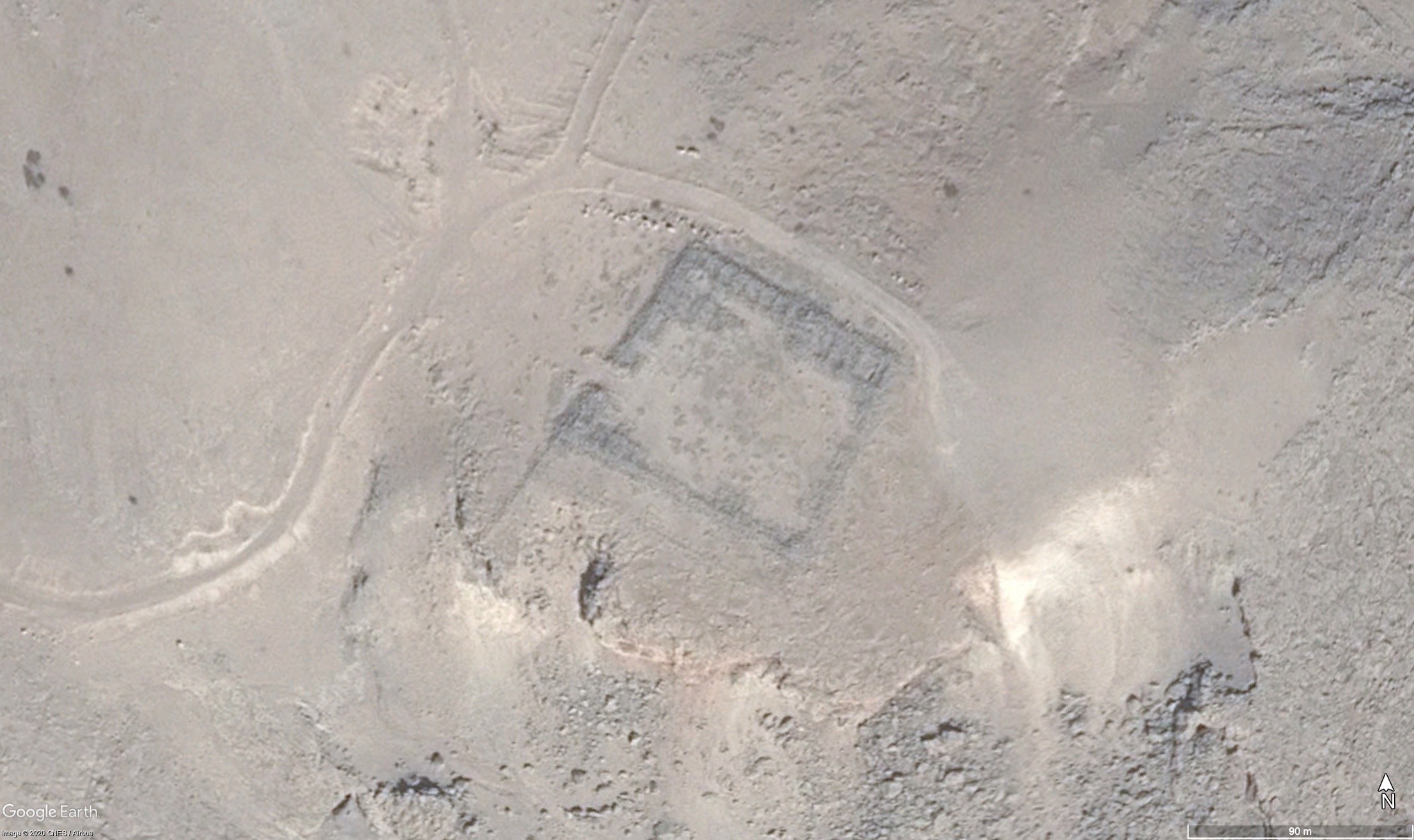
Whilst working together on the EAMENA project, Andrea and Michael came across the Kyl-Bingaman Amendment – a little highlighted, but ultimately fundamental piece of US legislation that prohibits access to high-resolution satellite imagery of Israel and Palestine on security grounds. The Kyl-Bingaman Amendment was a major impediment to EAMENA’s work that uses satellite imagery to identify and monitor archaeological sites across the MENA region. What’s more, the amendment went against the ethos of Arcadia – the major funders of the EAMENA project – as well as Andrea’s beliefs – that knowledge should be free and made open access to all.
In 2018 Andrea and Michael co-published a paper in the journal Space Policy with the intention of hopefully seeing the law changed. ‘Israel and Palestine: re-assessing the Kyl-Bingaman Amendment’ is available as open access here.
The Kyl-Bingaman Amendment contained a reform mechanism that meant restrictions would be lowered if companies outside the US were selling their own satellite imagery at a higher resolution than the level set by the US restrictions. Andrea and Michael found that several other companies had been producing sub-2m resolution imagery for several years which would, in theory, mean that the US satellite imagery should be accessible for free as open-source. Something that would be ground breaking for academics working on the region.
 Following a sustained campaign since 2018, on 25th June 2020, the Kyl-Bingaman Amendment was reformed. This change in US policy will have a significant impact for scholars using remote sensing in the region – not only for archaeology – but all the geographical and environmental sciences. You can read more about the academic work behind this policy change in a blog post published by Oxford University earlier this month.